
Taleghan County topographic map
Interactive map
Click on the map to display elevation.
About this map
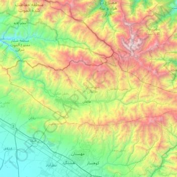
Name: Taleghan County topographic map, elevation, terrain.
Location: Taleghan County, Alborz Province, Iran (36.10289 50.40966 36.34221 51.17598)
Average elevation: 2,296 m
Minimum elevation: 1,110 m
Maximum elevation: 4,790 m