
Kassala topographic map
Interactive map
Click on the map to display elevation.
About this map
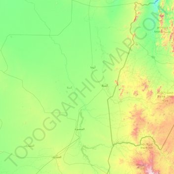
Name: Kassala topographic map, elevation, terrain.
Location: Kassala, Sudan (13.70222 34.25943 17.11871 37.02278)
Average elevation: 614 m
Minimum elevation: 241 m
Maximum elevation: 2,322 m