
Gupit topographic map
Interactive map
Click on the map to display elevation.
About this map
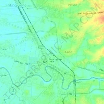
Name: Gupit topographic map, elevation, terrain.
Location: Gupit, Sukoharjo, 57571, Indonesia (-7.76089 110.85894 -7.72089 110.89894)
Average elevation: 111 m
Minimum elevation: 98 m
Maximum elevation: 136 m