
Saint Patrick's Isle topographic map
Interactive map
Click on the map to display elevation.
About this map
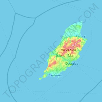
Name: Saint Patrick's Isle topographic map, elevation, terrain.
Location: Saint Patrick's Isle, Peel, Glenfaba, IM5 3RB, Isle of Man (53.90649 -5.01910 54.54649 -4.37910)
Average elevation: 15 m
Minimum elevation: 0 m
Maximum elevation: 612 m