
Bergheim topographic map
Interactive map
Click on the map to display elevation.
About this map
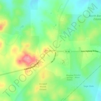
Name: Bergheim topographic map, elevation, terrain.
Location: Bergheim, Kendall County, Texas, United States (29.80744 -98.59530 29.84744 -98.55530)
Average elevation: 419 m
Minimum elevation: 380 m
Maximum elevation: 481 m