
The Municipal District of Thurles topographic map
Interactive map
Click on the map to display elevation.
About this map
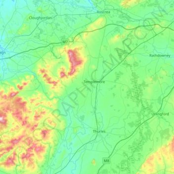
Name: The Municipal District of Thurles topographic map, elevation, terrain.
Average elevation: 144 m
Minimum elevation: 50 m
Maximum elevation: 532 m
County Tipperary trails, hiking, mountain biking, running and outdoor activities
Other topographic maps
Click on a map to view its topography, its elevation and its terrain.