
Anda topographic map
Interactive map
Click on the map to display elevation.
About this map
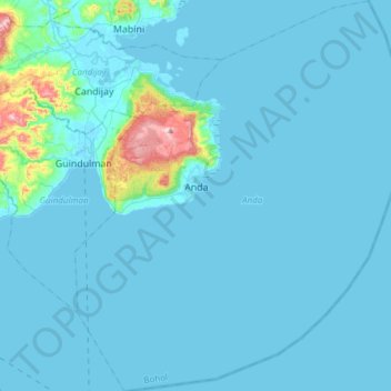
Name: Anda topographic map, elevation, terrain.
Location: Anda, Bohol, Central Visayas, 6311, Philippines (9.58673 124.48124 9.88636 124.73391)
Average elevation: 24 m
Minimum elevation: -3 m
Maximum elevation: 362 m