
Shire Of Jerramungup topographic map
Interactive map
Click on the map to display elevation.
About this map
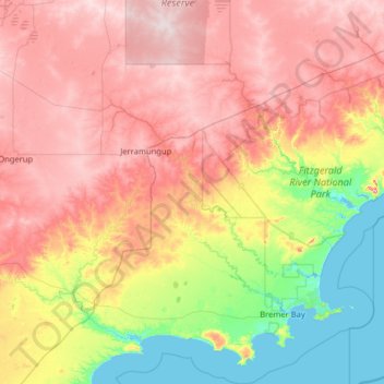
Name: Shire Of Jerramungup topographic map, elevation, terrain.
Location: Shire Of Jerramungup, Western Australia, Australia (-34.58538 118.60683 -33.52581 119.68106)
Average elevation: 180 m
Minimum elevation: -1 m
Maximum elevation: 390 m
Other topographic maps
Click on a map to view its topography, its elevation and its terrain.