
Sumber Suko topographic map
Interactive map
Click on the map to display elevation.
About this map
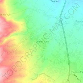
Name: Sumber Suko topographic map, elevation, terrain.
Location: Sumber Suko, Pasuruan, 60135, Indonesia (-7.64854 112.65620 -7.60854 112.69620)
Average elevation: 159 m
Minimum elevation: 54 m
Maximum elevation: 324 m