
PT Galangan Kapal Bontuni Tirtamas topographic map
Interactive map
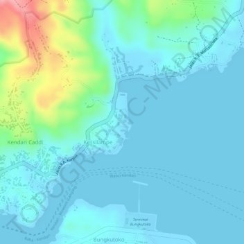
Click on the map to display elevation.
About this map
Name: PT Galangan Kapal Bontuni Tirtamas topographic map, elevation, terrain.
Average elevation: 23 m
Minimum elevation: 0 m
Maximum elevation: 126 m