
Shanbally topographic map
Interactive map
Click on the map to display elevation.
About this map
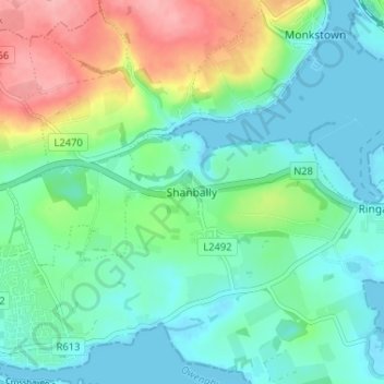
Name: Shanbally topographic map, elevation, terrain.
Location: Shanbally, County Cork, Munster, T12 TW44, Ireland (51.81194 -8.37428 51.85194 -8.33428)
Average elevation: 34 m
Minimum elevation: -2 m
Maximum elevation: 119 m