
Houton topographic map
Interactive map
Click on the map to display elevation.
About this map
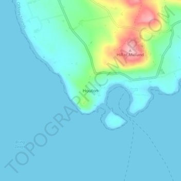
Name: Houton topographic map, elevation, terrain.
Location: Houton, Orkney Islands, Scotland, KW17 2RE, United Kingdom (58.89710 -3.21911 58.93710 -3.17911)
Average elevation: 20 m
Minimum elevation: 0 m
Maximum elevation: 156 m