
South Derbyshire topographic map
Interactive map
Click on the map to display elevation.
About this map
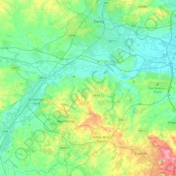
Name: South Derbyshire topographic map, elevation, terrain.
Average elevation: 85 m
Minimum elevation: 28 m
Maximum elevation: 272 m
Other topographic maps
Click on a map to view its topography, its elevation and its terrain.
Ingleby
United Kingdom > England > South Derbyshire > Ingleby
Ingleby, Ingleby CP, South Derbyshire, Derbyshire, East Midlands, England, DE73 7HW, United Kingdom
Average elevation: 66 m