
Pearl River County topographic map
Interactive map
Click on the map to display elevation.
About this map
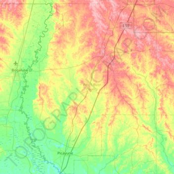
Name: Pearl River County topographic map, elevation, terrain.
Location: Pearl River County, Mississippi, United States (30.45898 -89.85217 31.01402 -89.34070)
Average elevation: 49 m
Minimum elevation: 2 m
Maximum elevation: 119 m
Other topographic maps
Click on a map to view its topography, its elevation and its terrain.
Keel
United States > Mississippi > Keel
Keel, Lafayette County, Mississippi, United States
Average elevation: 141 m