
Vredepolder topographic map
Interactive map
Click on the map to display elevation.
About this map
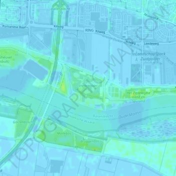
Name: Vredepolder topographic map, elevation, terrain.
Location: Vredepolder, Barendrecht, South Holland, Netherlands (51.83134 4.51800 51.83810 4.52678)
Average elevation: 1 m
Minimum elevation: -5 m
Maximum elevation: 10 m