
Waidbruck - Ponte Gardena topographic map
Interactive map
Click on the map to display elevation.
About this map
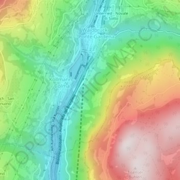
Name: Waidbruck - Ponte Gardena topographic map, elevation, terrain.
Average elevation: 764 m
Minimum elevation: 434 m
Maximum elevation: 1,226 m