
Gunung Bohong topographic map
Interactive map
Click on the map to display elevation.
About this map
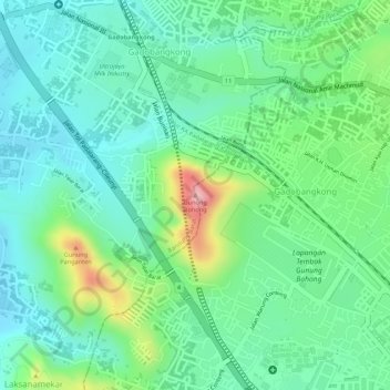
Name: Gunung Bohong topographic map, elevation, terrain.
Location: Gunung Bohong, Cimahi, West Java, 40524, Indonesia (-6.87644 107.51967 -6.87634 107.51977)
Average elevation: 733 m
Minimum elevation: 680 m
Maximum elevation: 854 m