
Jamalpur topographic map
Interactive map
Click on the map to display elevation.
About this map
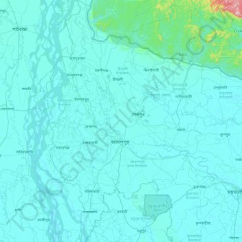
Name: Jamalpur topographic map, elevation, terrain.
Location: Jamalpur, Mymensingh Division, Bangladesh (24.56648 89.64354 25.43220 90.22229)
Average elevation: 30 m
Minimum elevation: 6 m
Maximum elevation: 635 m