
Kagondo topographic map
Interactive map
Click on the map to display elevation.
About this map
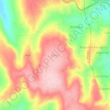
Name: Kagondo topographic map, elevation, terrain.
Location: Kagondo, Kiziru, Bukoba, Kagera, Lake Zone, Tanzania (-1.34597 31.73860 -1.30597 31.77860)
Average elevation: 1,286 m
Minimum elevation: 1,161 m
Maximum elevation: 1,376 m