
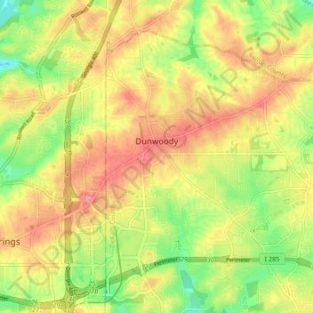
Dunwoody topographic map
Interactive map
Click on the map to display elevation.
About this map
Name: Dunwoody topographic map, elevation, terrain.
Location: Dunwoody, DeKalb County, Georgia, United States (33.91500 -84.34793 33.97087 -84.26493)
Average elevation: 313 m
Minimum elevation: 254 m
Maximum elevation: 366 m