
Colebrook topographic map
Interactive map
Click on the map to display elevation.
About this map
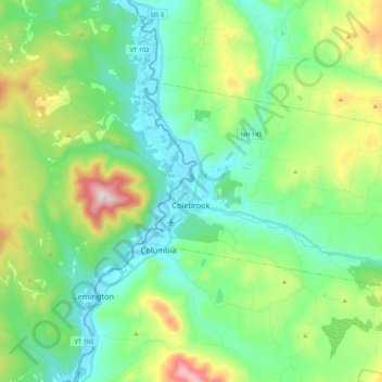
Name: Colebrook topographic map, elevation, terrain.
Location: Colebrook, Coös County, New Hampshire, 03576, USA (44.85632 -71.52300 44.94314 -71.30820)
Average elevation: 476 m
Minimum elevation: 300 m
Maximum elevation: 953 m