
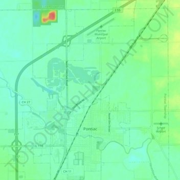
Pontiac topographic map
Interactive map
Click on the map to display elevation.
About this map
Name: Pontiac topographic map, elevation, terrain.
Location: Pontiac, Livingston County, Illinois, 61764, USA (40.85890 -88.68124 40.93224 -88.60465)
Average elevation: 199 m
Minimum elevation: 186 m
Maximum elevation: 236 m