
Chikomba topographic map
Interactive map
Click on the map to display elevation.
About this map
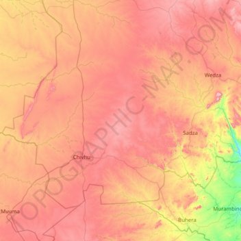
Name: Chikomba topographic map, elevation, terrain.
Location: Chikomba, Mashonaland East, Zimbabwe (-19.26841 30.48947 -18.41817 31.72045)
Average elevation: 1,350 m
Minimum elevation: 903 m
Maximum elevation: 1,789 m
Other topographic maps
Click on a map to view its topography, its elevation and its terrain.