
Murphy topographic map
Interactive map
Click on the map to display elevation.
About this map
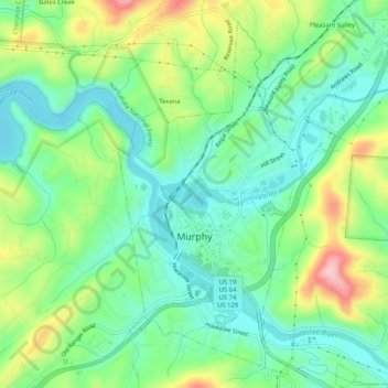
Name: Murphy topographic map, elevation, terrain.
Location: Murphy, Cherokee County, North Carolina, USA (35.07100 -84.04468 35.11131 -84.00244)
Average elevation: 512 m
Minimum elevation: 449 m
Maximum elevation: 648 m