
Graham County topographic map
Interactive map
Click on the map to display elevation.
About this map
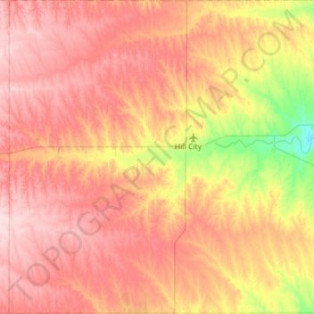
Name: Graham County topographic map, elevation, terrain.
Location: Graham County, Kansas, USA (39.13183 -100.16421 39.56749 -99.60192)
Average elevation: 720 m
Minimum elevation: 600 m
Maximum elevation: 813 m
Other topographic maps
Click on a map to view its topography, its elevation and its terrain.
Westmoreland
USA > Kansas > Westmoreland
Westmoreland, Pottawatomie County, Kansas, USA
Average elevation: 371 m