
Mahakali topographic map
Interactive map
Click on the map to display elevation.
About this map
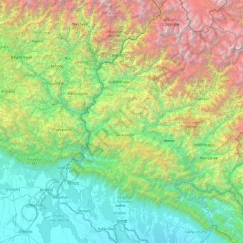
Name: Mahakali topographic map, elevation, terrain.
Location: Mahakali, Far-Western Development Region, Nepal (28.55070 80.05862 30.22721 81.10904)
Average elevation: 1,733 m
Minimum elevation: 151 m
Maximum elevation: 6,943 m