
Ballintemple ED topographic map
Interactive map
Click on the map to display elevation.
About this map
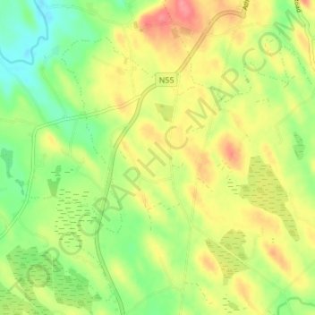
Name: Ballintemple ED topographic map, elevation, terrain.
Location: Ballintemple ED, Corduff, County Cavan, Ireland (53.88480 -7.45251 53.92480 -7.41251)
Average elevation: 87 m
Minimum elevation: 51 m
Maximum elevation: 126 m