
Beechgrove topographic map
Interactive map
Click on the map to display elevation.
About this map
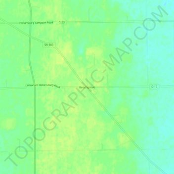
Name: Beechgrove topographic map, elevation, terrain.
Location: Beechgrove, Darke County, Ohio, United States of America (39.96949 -84.63607 40.00949 -84.59607)
Average elevation: 330 m
Minimum elevation: 321 m
Maximum elevation: 337 m