
Avis topographic map
Interactive map
Click on the map to display elevation.
About this map
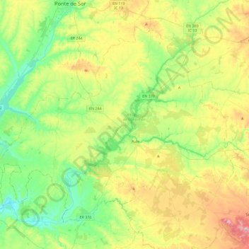
Name: Avis topographic map, elevation, terrain.
Location: Avis, Portalegre, Alto Alentejo, Alentejo, Portugal (38.94077 -8.15200 39.21862 -7.69667)
Average elevation: 171 m
Minimum elevation: 56 m
Maximum elevation: 389 m
Other topographic maps
Click on a map to view its topography, its elevation and its terrain.