
Chour topographic map
Interactive map
Click on the map to display elevation.
About this map
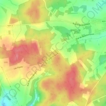
Name: Chour topographic map, elevation, terrain.
Location: Chour, Bièvre, Dinant, Namur, Wallonia, 5555, Belgium (49.92260 4.97994 49.94260 4.99994)
Average elevation: 399 m
Minimum elevation: 350 m
Maximum elevation: 439 m