
Glenwood Springs topographic map
Interactive map
Click on the map to display elevation.
About this map
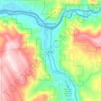
Name: Glenwood Springs topographic map, elevation, terrain.
Location: Glenwood Springs, Garfield County, Colorado, USA (39.49499 -107.38094 39.56928 -107.30509)
Average elevation: 2,081 m
Minimum elevation: 1,736 m
Maximum elevation: 2,580 m