
Granite County topographic map
Interactive map
Click on the map to display elevation.
About this map
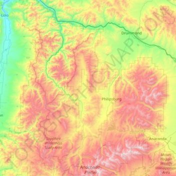
Name: Granite County topographic map, elevation, terrain.
Location: Granite County, Montana, United States (45.93863 -113.87836 46.83380 -113.03153)
Average elevation: 1,800 m
Minimum elevation: 951 m
Maximum elevation: 3,216 m