
Goleen topographic map
Interactive map
Click on the map to display elevation.
About this map
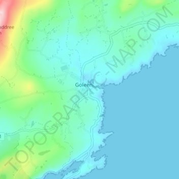
Name: Goleen topographic map, elevation, terrain.
Location: Goleen, County Cork, Munster, Ireland (51.47389 -9.72917 51.51389 -9.68917)
Average elevation: 45 m
Minimum elevation: -6 m
Maximum elevation: 284 m