
Durg topographic map
Interactive map
Click on the map to display elevation.
About this map
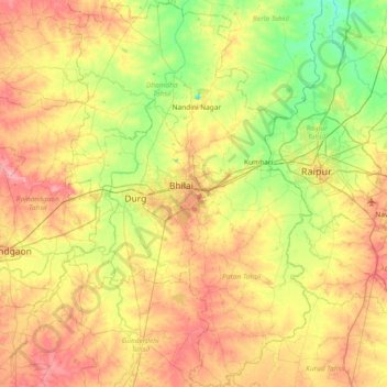
Name: Durg topographic map, elevation, terrain.
Location: Durg, Chhattisgarh, India (20.85031 81.13396 22.02383 81.93544)
Average elevation: 325 m
Minimum elevation: 233 m
Maximum elevation: 864 m