East Ferry topographic map
Interactive map
Click on the map to display elevation.
About this map
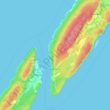
Name: East Ferry topographic map, elevation, terrain.
Average elevation: 22 m
Minimum elevation: -4 m
Maximum elevation: 103 m

Click on the map to display elevation.
Name: East Ferry topographic map, elevation, terrain.
Average elevation: 22 m
Minimum elevation: -4 m
Maximum elevation: 103 m