
Roskeen topographic map
Interactive map
Click on the map to display elevation.
About this map
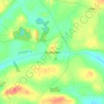
Name: Roskeen topographic map, elevation, terrain.
Location: Roskeen, Cecilstown, County Cork, Munster, Ireland (52.14922 -8.79827 52.18922 -8.75827)
Average elevation: 97 m
Minimum elevation: 75 m
Maximum elevation: 127 m