
Gouldsboro topographic map
Interactive map
Click on the map to display elevation.
About this map
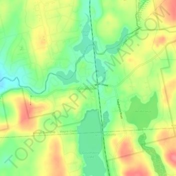
Name: Gouldsboro topographic map, elevation, terrain.
Location: Gouldsboro, Wayne County, Pennsylvania, 18424, USA (41.22453 -75.47602 41.26453 -75.43602)
Average elevation: 589 m
Minimum elevation: 553 m
Maximum elevation: 629 m