
Shawnee topographic map
Interactive map
Click on the map to display elevation.
About this map
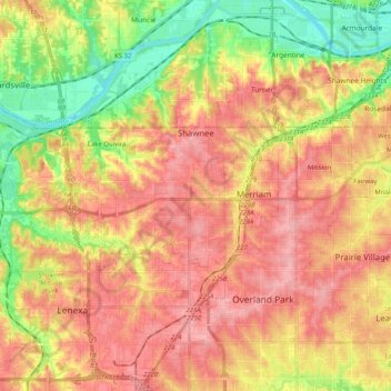
Name: Shawnee topographic map, elevation, terrain.
Location: Shawnee, Johnson County, Kansas, USA (38.97092 -94.90890 39.06161 -94.70509)
Average elevation: 285 m
Minimum elevation: 219 m
Maximum elevation: 336 m