
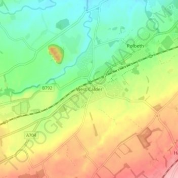
West Calder topographic map
Interactive map
Click on the map to display elevation.
About this map
Name: West Calder topographic map, elevation, terrain.
Location: West Calder, West Lothian, Scotland, EH55 8AE, United Kingdom (55.81175 -3.61073 55.89175 -3.53073)
Average elevation: 192 m
Minimum elevation: 97 m
Maximum elevation: 333 m