
Allegheny topographic map
Interactive map
Click on the map to display elevation.
About this map
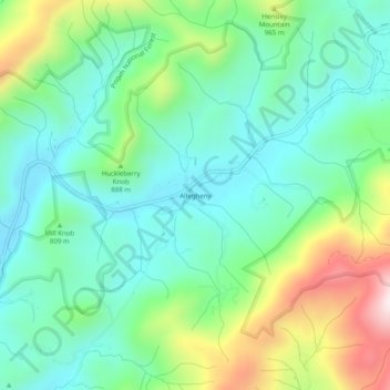
Name: Allegheny topographic map, elevation, terrain.
Location: Allegheny, Madison County, North Carolina, USA (35.96844 -82.68736 36.00844 -82.64736)
Average elevation: 797 m
Minimum elevation: 620 m
Maximum elevation: 1,223 m