
Lunde topographic map
Interactive map
Click on the map to display elevation.
About this map
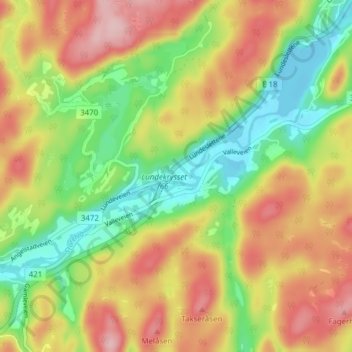
Name: Lunde topographic map, elevation, terrain.
Location: Lunde, Tvedestrand, East Agder, 4900, Norway (58.63261 8.92475 58.67261 8.96475)
Average elevation: 86 m
Minimum elevation: -2 m
Maximum elevation: 179 m