
Spelga Reservoir topographic map
Interactive map
Click on the map to display elevation.
About this map
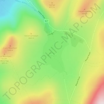
Name: Spelga Reservoir topographic map, elevation, terrain.
Average elevation: 381 m
Minimum elevation: 164 m
Maximum elevation: 644 m
Other topographic maps
Click on a map to view its topography, its elevation and its terrain.
Carcullion
United Kingdom > Northern Ireland > Hilltown
Carcullion, Hilltown, County Down, Northern Ireland, United Kingdom
Average elevation: 204 m