
Haulbowline topographic map
Interactive map
Click on the map to display elevation.
About this map
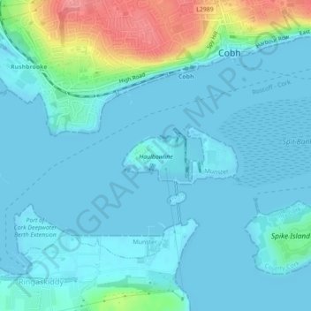
Name: Haulbowline topographic map, elevation, terrain.
Average elevation: 15 m
Minimum elevation: -2 m
Maximum elevation: 88 m
Other topographic maps
Click on a map to view its topography, its elevation and its terrain.
Ringaskiddy
Ringaskiddy, County Cork, Munster, P24 F252, Ireland
Average elevation: 13 m