
Leawood topographic map
Interactive map
Click on the map to display elevation.
About this map
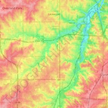
Name: Leawood topographic map, elevation, terrain.
Location: Leawood, Johnson County, Kansas, USA (38.84734 -94.64922 38.98436 -94.60781)
Average elevation: 289 m
Minimum elevation: 235 m
Maximum elevation: 333 m