
Glasnevin topographic map
Interactive map
Click on the map to display elevation.
About this map
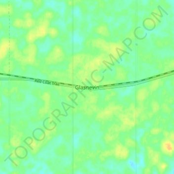
Name: Glasnevin topographic map, elevation, terrain.
Location: Glasnevin, Census Division No. 2, Saskatchewan, Canada (49.53000 -105.07000 49.57000 -105.03000)
Average elevation: 736 m
Minimum elevation: 725 m
Maximum elevation: 750 m