
Bridgend topographic map
Interactive map
Click on the map to display elevation.
About this map
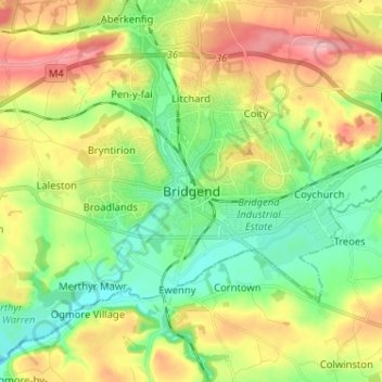
Name: Bridgend topographic map, elevation, terrain.
Location: Bridgend, Mid Glamorgan, Wales, CF31 1BZ, United Kingdom (51.46498 -3.61567 51.54498 -3.53567)
Average elevation: 57 m
Minimum elevation: 0 m
Maximum elevation: 145 m