
Drumkeeran ED topographic map
Interactive map
Click on the map to display elevation.
About this map
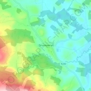
Name: Drumkeeran ED topographic map, elevation, terrain.
Location: Drumkeeran ED, Drumkeeran, County Leitrim, Connacht, Ireland (54.14843 -8.16408 54.18843 -8.12408)
Average elevation: 103 m
Minimum elevation: 45 m
Maximum elevation: 255 m