
Ardgillan Castle topographic map
Interactive map
Click on the map to display elevation.
About this map
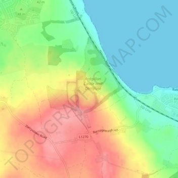
Name: Ardgillan Castle topographic map, elevation, terrain.
Average elevation: 43 m
Minimum elevation: 0 m
Maximum elevation: 95 m
Other topographic maps
Click on a map to view its topography, its elevation and its terrain.
Ardgillan Demesne
Ardgillan Demesne, Balbriggan Rural ED, Balrothery, Fingal, County Dublin, Leinster, Ireland
Average elevation: 32 m