
Oldtown topographic map
Interactive map
Click on the map to display elevation.
About this map
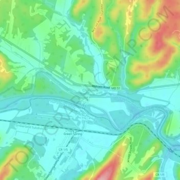
Name: Oldtown topographic map, elevation, terrain.
Location: Oldtown, Allegany County, Maryland, 26722, United States (39.52148 -78.63140 39.56148 -78.59140)
Average elevation: 194 m
Minimum elevation: 155 m
Maximum elevation: 291 m