
Keel topographic map
Interactive map
Click on the map to display elevation.
About this map
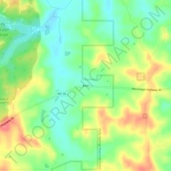
Name: Keel topographic map, elevation, terrain.
Location: Keel, Lafayette County, Mississippi, United States (34.39288 -89.38785 34.43288 -89.34785)
Average elevation: 141 m
Minimum elevation: 112 m
Maximum elevation: 181 m